Reporter: Adda Avendaño | Photos: Satellite Oceanography and Climate Laboratory
Researchers at the Instituto Politécnico Nacional (IPN) in Sinaloa have developed a system designed to support decision-making in response to adverse oceanic and atmospheric phenomena.
Every Tuesday, the Laboratory of Satellite Oceanography and Climate (LOSyC) releases a climate forecast bulletin, as well as special updates on extraordinary weather events, via the official CIIDIR Sinaloa website.
Weather predictions may seem like simple conveniences—whether it will rain, be hot, or turn cold—but in reality, they are critical for far more people than one might imagine. Accurate forecasting provides vital data for disaster risk reduction, public health protection, water resource management, glacier monitoring, agriculture, food production, and the planning of tourism and transport activities.
Recognizing this importance, a state-of-the-art forecasting system has been established at the Centro Interdisciplinario de Investigación para el Desarrollo Integral Regional (CIIDIR), Unidad Sinaloa, under the coordination of Dr. Enrique de Jesús Morales Acuña.
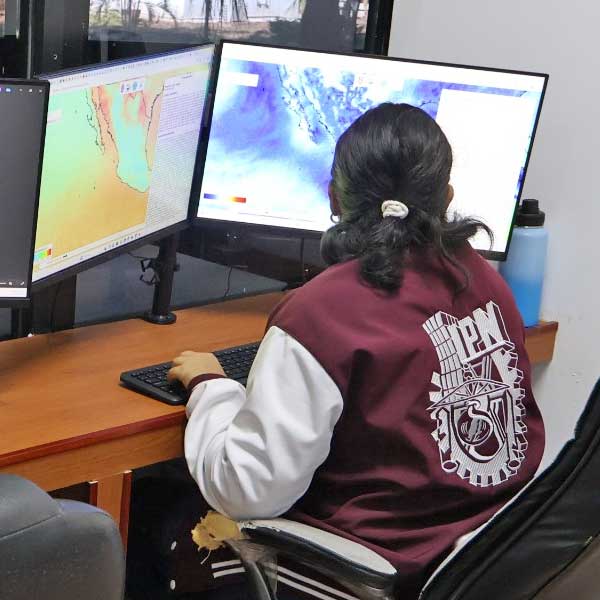
Morales Acuña, also a postdoctoral fellow at the Secretariat of Science, Humanities, Technology, and Innovation (SECIHTI), explained that the LOSyC is a small but powerful climate and oceanographic data center. It operates with a server, a network-attached storage device (NAS), a switch, two workstations, and a laptop.
“The computational magic begins when we virtualize this single server into three, significantly boosting our capacity for analysis, monitoring, and forecasting of ocean-atmosphere variables, air quality, and extreme events. We achieve this through numerical modeling, satellite data, reanalysis, and in situ sensor information,” said Morales Acuña, who also holds a Master’s degree in Marine Resource Management from IPN’s CICIMAR.
At the core of LOSyC’s work is the Interactive Meteo-Marine Forecasting System (SIPME), developed by Morales Acuña alongside graduate students Wendy Johanna Orozco and Andrea Manrique Cantillo, Dr. Diana Escobedo Urías, and with contributions from two external Colombian experts. SIPME is the first interactive system of its kind in Mexico, and only the third worldwide.
Its computational architecture integrates high-resolution numerical models, including the oceanic model CROCO and the atmospheric model WRF. Both run continuously, drawing initial conditions from regional and global systems at three-hour intervals.
Thanks to these models, it is possible to visualize near-real-time dynamics of the atmosphere and ocean, while daily forecasts provide detailed oceanic and atmospheric conditions for the following seven days.
This information is presented through a user-friendly application that allows any individual to interpret synoptic conditions—the combined behavior of multiple meteorological variables at specific times. This capability supports informed decision-making in the face of adverse meteo-marine events impacting ecosystems and communities in northwestern Mexico.
According to Morales Acuña, the laboratory originated from a project on air quality, aquatic biogeochemistry, and public health, focusing on atmospheric pollutants derived from agricultural activity. The project began after he observed unusually high water temperatures on the beaches of Maviri, Guasave.
Funded under the Strategic Science and Humanities Projects Program (ProRed) of the former CONACYT, the initiative led to two CIIDIR Sinaloa proposals:
• Olascam, an early warning system for marine heatwaves.
• Calaire is a continuous air quality monitoring system for diagnosis and management.
This foundation established a new line of oceanography and climate research at CIIDIR Sinaloa, giving rise to LOSyC and its SIPME system. SIPME is modeled after Windy, which uses NOAA’s numerical weather prediction framework, but it extends beyond it.
LOSyC has detected extreme events well before NOAA’s public platforms.
“But SIPME goes further,” Morales Acuña explained. “It scrapes and downloads data from major satellite servers—including Copernicus (ESA), MODIS (NASA’s Terra and Aqua satellites), and NOAA portals—and uses them as input to simulate oceanic and atmospheric variables at finer resolution. To our surprise, we’ve detected extreme events significantly earlier than NOAA itself.”
The laboratory continues to grow. Morales Acuña envisions a larger facility with expanded computational infrastructure and more personnel, capable of detecting additional extreme events such as droughts, floods, marine heatwaves, and ocean acidification—providing early warnings to support timely response.
“A larger facility with around ten servers and more staff would allow us to expand our scope. Climate monitoring is extremely demanding—it requires daily vigilance at the computer to catch even the smallest changes. Right now, we are driven by passion, by the joy of discovery, and by the strength of our team,” he emphasized.
Today, LOSyC stands as one of Sinaloa’s leading sources of climate information. For it to reach its full potential—and become a recognized reference at institutional, regional, and national levels—it must consolidate its credibility and visibility. Doing so would position LOSyC as a vital contributor to maritime safety, risk management, and sustainable development.

INSTITUTO POLITÉCNICO NACIONAL
D.R. Instituto Politécnico Nacional (IPN). Av. Luis Enrique Erro S/N, Unidad Profesional Adolfo López Mateos, Zacatenco, Alcaldía Gustavo A. Madero, C.P. 07738, Ciudad de México. Conmutador: 55 57 29 60 00 / 55 57 29 63 00.
Esta página es una obra intelectual protegida por la Ley Federal del Derecho de Autor, puede ser reproducida con fines no lucrativos, siempre y cuando no se mutile, se cite la fuente completa y su dirección electrónica; su uso para otros fines, requiere autorización previa y por escrito de la Dirección General del Instituto.
